Top Trails gives directions to the southern trailhead, at the confluence of Cache and Bear Creeks, but they are fairly vague. Parking is at mile marker 7.08, but be aware that this mile marker is reached AFTER the mile markers count down to 0 and the you cross into Colusa County. Once parked (if you reach the fenced “Private Property” between the highway and Bear Creek, you’ve gone too far), finding the actual trail was also a challenge. We crossed Bear Creek, walked along Cache Creek, and then mountain goated up the ridge to find the correct trail. While that was certainly good cardio, I don’t recommend that route. Instead, cross Bear Creek and walk upstream, along Bear Creek, until you reach a wide, dirt track. The correct trail heads uphill for 1200 feet to the ridgeline.
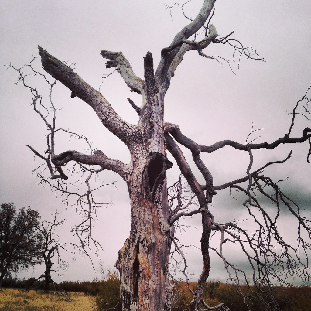
The change in weather makes this a vastly different hike. The distant ridges, veiled in drifting clouds, take on a mysterious air. The stock pond 2.79 miles from Bear Creek contained both water and mud (to Jasper’s delight). We rarely paused to pull out our water bottles and instead focused on constant motion to stay warm. I couldn’t believe it when it started to snow.
Last week, I hiked in a sports bra and running skirt, enjoying the winter sunshine. This week, I also wore leggings, two shirts, a jacket, and gloves. On the descent, when the ridgeline snow changed to rain, I added a plastic Disney poncho.
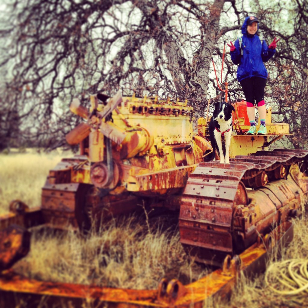
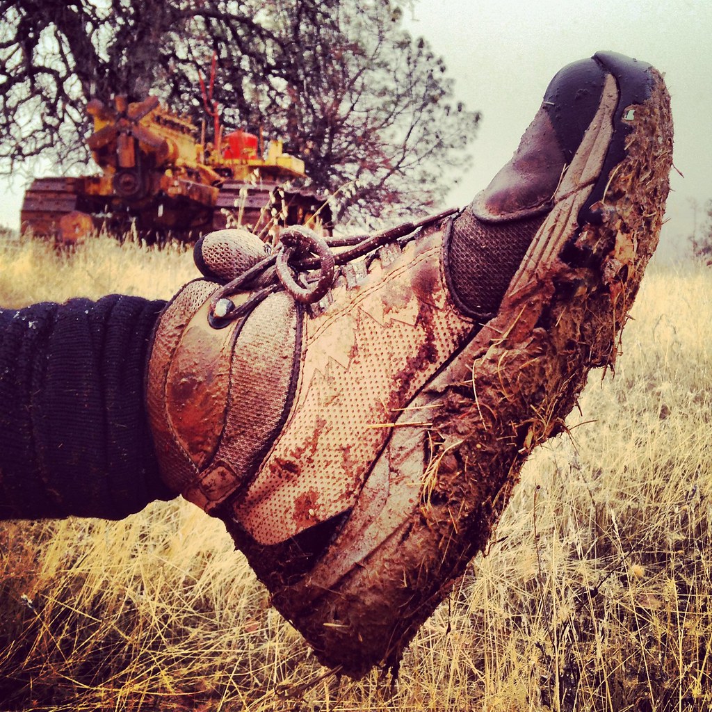
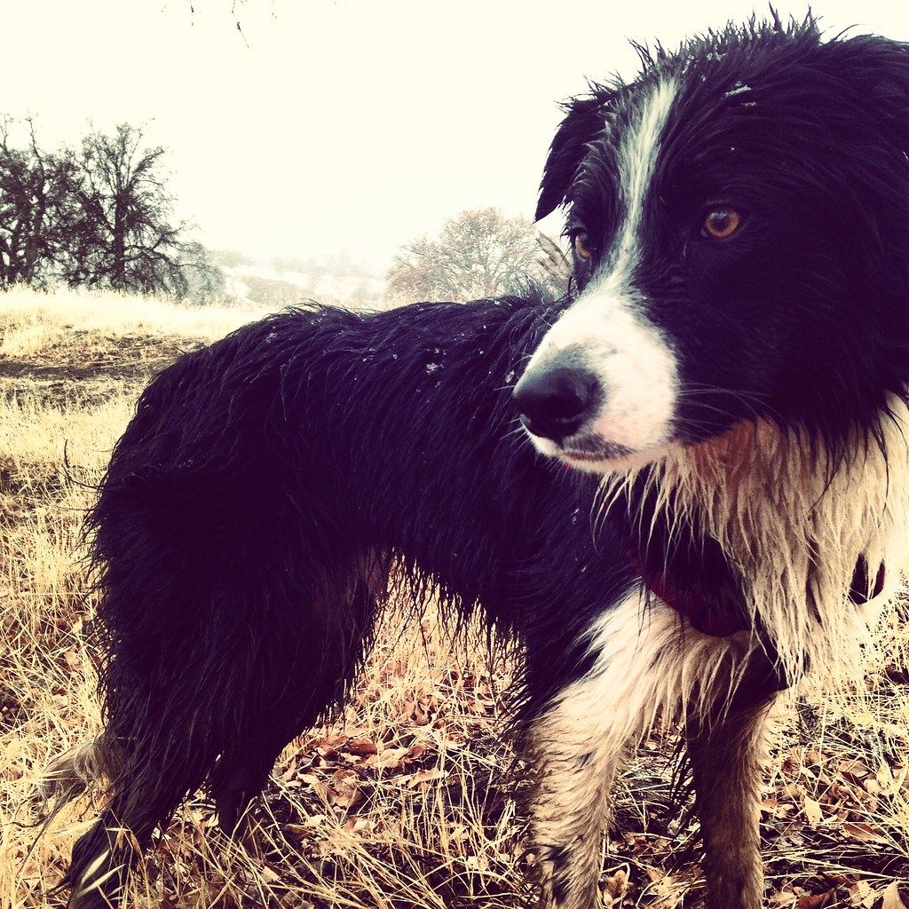
Our companions kept a cheerful mood, despite the damp and cold, and the 4.12 miles to Bulldozer Junction flew by. On the return, Jasper and I fell behind as I struggled to take iPhone photos with numb fingers. I was further slowed by the mud that formed as the day progressed; it clung to my boots, creating “mud shoes” that were both heavy and awkward. Jasper’s pace didn’t slow on the return, but the rain soaked him to the skin and his hind end was covered in mud kicked up by his back legs.
We were relieved to get to the car, blast the heater, and drive to the Cache Creek Casino for warm snacks.
Source: Evans, Stephen L. "Cache Creek Ridge Trail." Top Trails Sacramento. 4th ed. Birmingham: Wilderness, 2012. Print.
Length: 8.24 miles (Bear and Cache Creek confluence to Bulldozer Trail junction and back)
Water: Available at the trailhead (Bear and Cache Creeks) and the stock pond 2.79 miles from Bear Creek.
Use: Again, we were the only ones on the trail! Nothing like a rainy Super Bowl Sunday to clear the wilderness.
Differences from published description: Difficult to find parking and the trailhead. No electric fence intersections.
Jasper’s rating: 3.5 paws out of 5. The creek intersection and nice, muddy pond more than made up for the weather, in Jasper’s opinion.
Sporty Sunday is a recurring feature in which I share my fitness routine and offer and solicit advice. While this content might seem a little out of place in an outfit diary, a healthy, strong body is the foundation of my wardrobe. I hope to inspire my readers to be fit as well as stylish!
1 comment:
It's so enjoyable to read y'alls adventures. They make me smile. :o)
www.dressupnotdown.blogspot.com
Post a Comment